WINDO
West Indian Ocean Model
|
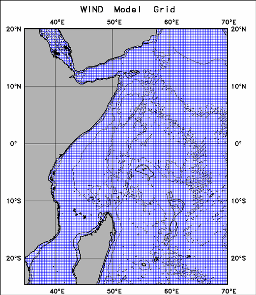
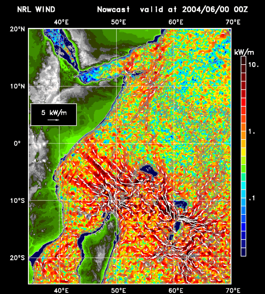
WINDO model consists an 6-km horizontal resolution, 40-layer sigma-z data-assimilating ocean model based on NCOM [Martin, 2000]. The model topography is from NRL DBDB2 (http://www7320.nrlssc.navy.mil/DBDB2_WWW/). Further refinement was made with NOAA NGDC and NGA bathymetry data. The model assimilates the synthetic temperature/salinity profiles produced by a statistical data analysis model called MODAS. Data for assimilation come from satellite altimeter (GEOSAT, ERS-1, TOPEX/Poseidon, ERS-2, GFO, Jason-1, Envisat,Jason-2 and Cyrosat-2) sea surface height measurement and AVHRR multi-channel sea surface temperature (MCSST). Three hourly surface heat fluxes, solar radiation, wind stress and sea level air pressure from operational global NOGAPS/FNMOC are applied for surface forcing. The open boundary conditions including sea surface elevation, transport, temperature, salinity and currents are provided by the Navy's 1/8 degree Global NCOM. A one way coupling scheme is used to ingest those boundary conditions into the model. In addition, the tidal forcing from OSU tidal model is applied (internal tidal energy flux). There are 37 rivers in the model. The climatological monthly river discharges are used for the simulation. |
|---|